
St. Petersburg ZIP Coverage
The standard geographic sequence runs from 33701 through 33716. The Pinellas County Community Health Assessment supplies the official cross-city base, while USPS verifies current delivery for one exact address. The table describes postal coverage, not legal city limits. Neighborhood names are practical guides, and several rows include other cities or unincorporated communities.
| ZIP | Areas Covered | Post Office | Boundary Note |
|---|---|---|---|
| 33701 | Downtown and waterfront | Open Air | Core city |
| 33702 | Gateway and north St. Petersburg | Gateway Mall; Northside | North/Gateway area |
| 33703 | Northeast; Shore Acres vicinity | Verify by address | Check flood and district layers |
| 33704 | Euclid, Crescent, Old Northeast | Euclid | Historic neighborhoods |
| 33705 | South/east city; Midtown | Midtown | Gas Plant history affects old addresses |
| 33706 | St. Petersburg and St. Pete Beach | St. Pete Beach | Crosses municipal identity |
| 33707 | St. Petersburg, Gulfport, South Pasadena, St. Pete Beach, Bear Creek | Verify by address | Strong city-limit mismatch |
| 33708 | St. Petersburg and several beach cities | Madeira Beach | Multiple municipalities |
| 33709 | St. Petersburg, Kenneth City, Pinellas Park, Seminole, Lealman | Verify by address | Includes unincorporated Lealman |
| 33710 | Tyrone, Crossroads, west city | Crossroads | Standard city area |
| 33711 | St. Petersburg and Gulfport | Gulfwinds | Cross-jurisdiction |
| 33712 | South-central city | Verify by address | Standard geographic area |
| 33713 | Central city | Verify by address | Main Library area |
| 33714 | St. Petersburg, Pinellas Park, Lealman | Verify by address | City/unincorporated overlap |
| 33715 | St. Petersburg and Tierra Verde | Verify by address | Postal city can be outside limits |
| 33716 | St. Petersburg, Pinellas Park, Gandy, Gateway, Carillon | Verify by address | Crosses northeast edges |
This is the lead index for the St. Petersburg ZIP code directory. Exact station assignment and deliverability still come from the current USPS address result.
St. Petersburg ZIP Geography
The strongest local quirk is the number of ZIP areas that cross city lines. The county source shows overlap in 33706 through 33709, 33711, and 33714 through 33716. A 33707 address may lie in St. Petersburg, Gulfport, South Pasadena, St. Pete Beach, or Bear Creek. A 33715 mailing address may be in far-south Tierra Verde. Postal routing does not identify which government issued a permit or holds a code case.
The ZIP code directory should therefore narrow a search, not decide custody. Open the parcel or public-address record and inspect its municipality, place name, and jurisdiction. The physical parcel determines whether the City Clerk, a neighboring city, or Pinellas County is the right records route.
Verify a St. Petersburg ZIP
The USPS ZIP Code Lookup by Address is the direct tool for one current deliverable address. Enter the full street line, city, and state. The response supplies the standardized address and ZIP information used for delivery. It does not show municipal limits or property ownership.
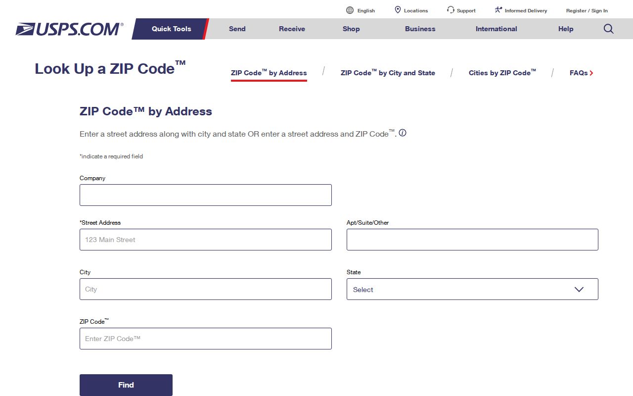
The USPS screen is the right first check when an old note, envelope, or contact list may hold an incomplete postal code.
Named station evidence includes Open Air at 76 Fourth Street North, Gateway Mall at 701 77th Avenue North, Northside at 1201 Gandy Boulevard North, Euclid at 901 34th Avenue North, Midtown at 1750 16th Street South, Crossroads at 1275 66th Street North, Gulfwinds at 4222 22nd Avenue South, and Madeira Beach at 15019 Madeira Way. Station names are helpful orientation, but the address tool should decide current delivery.
Find St. Petersburg Residents by ZIP
Official ZIP-wide resident tools are limited. USPS confirms one address. Pinellas GIS can filter public address points by the POSTCODE field and query a polygon by ZIP. The city lien request asks for a property ZIP, but it covers one property. Research did not verify a public Property Appraiser export of all real-property records in one ZIP, so that feature should not be promised.
- Verify the current address with USPS and copy the standardized postal code.
- Query the county ZIP polygon, then compare it with municipal boundaries and address points.
- Use the parcel’s situs address and jurisdiction to choose the proper official record source.
- Search a person or property in that source, keeping mailing and physical addresses separate.
- When the ZIP is still too broad, move to the St. Petersburg Street Directory for address-level work.
A public voter extract is a separate request route under Florida law, not a live household map. Social Security numbers, driver license numbers, and protected addresses remain confidential. A postal filter never changes those limits.
Map St. Petersburg ZIP Polygons
The Pinellas ZIP polygon service exposes official shapes that can be queried by postal code. Compare a polygon with parcel, city-boundary, and address-point layers. The public-address layer includes POSTCODE, MAILINGCITY, PLACENAME, emergency-service number, public-safety answering point, MSAG community, point type, and status. Those fields show why postal, emergency, and municipal labels can disagree.
| Search Field | What It Tests | Use |
|---|---|---|
| POSTCODE | Postal ZIP at the address point | Filter or compare points |
| MAILINGCITY | USPS mailing place | Read as postal identity |
| PLACENAME | Mapped local place | Compare with mailing label |
| City boundary | Incorporated municipality | Choose records custodian |
| Parcel | Property footprint and identifier | Join address to property record |
Open the Pinellas ZIP polygon layer to inspect its query service.
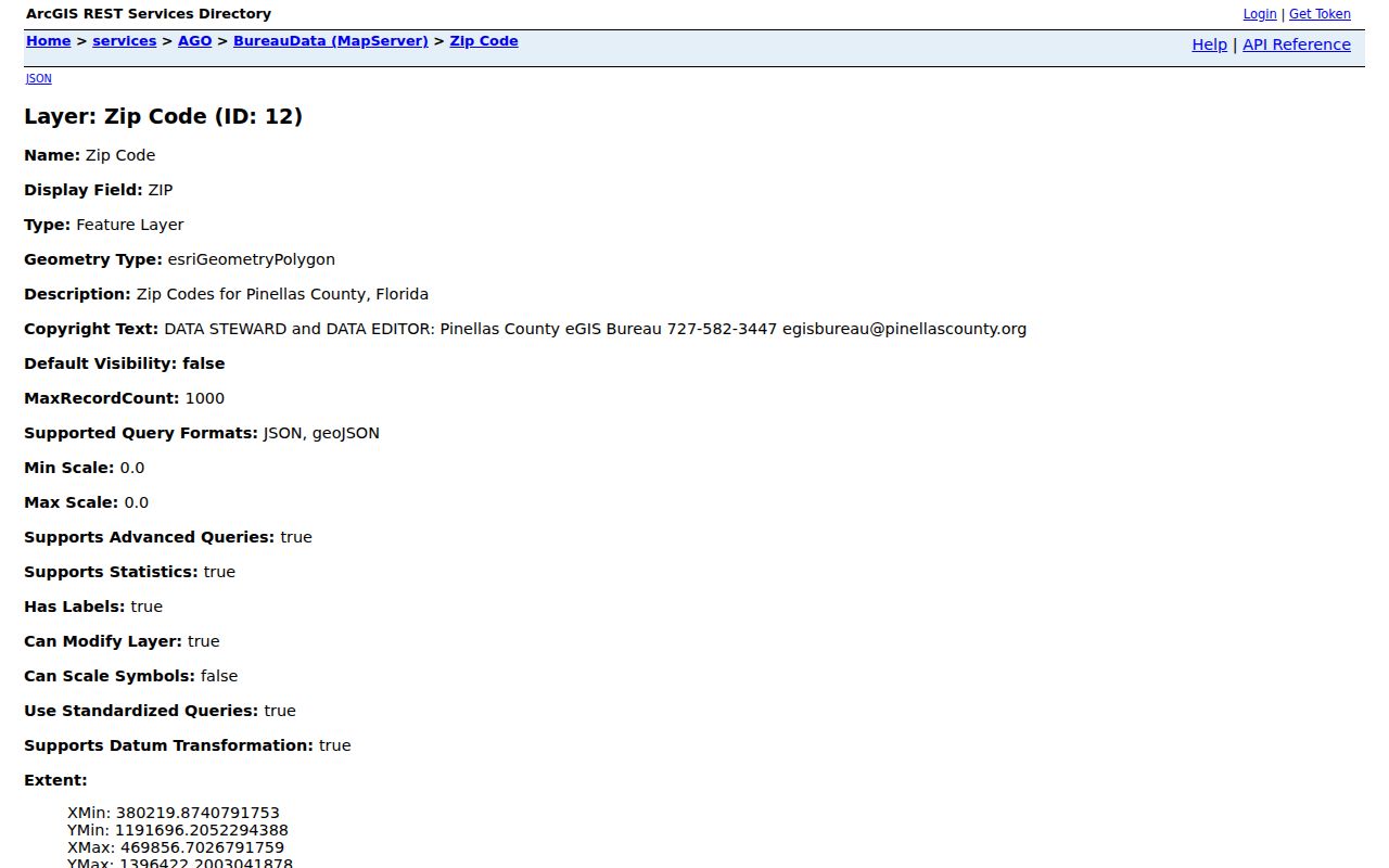
The layer view makes the ZIP boundary an object that can be compared with roads, parcels, and city lines.
St. Petersburg Roads Split ZIPs
Pinellas road data store ZIPLEFT and ZIPRIGHT separately. That technical detail has a plain result: addresses on opposite sides of one road can carry different postal codes. Never assign a ZIP to every house on a street from one known address.
A road segment can also pass from city territory into another municipality or an unincorporated area. Work from the house number and address point, not just the street name. Once an exact address is known, its parcel identifier gives a steadier key than the postal label.
Note: Check both the house number and side of the road before applying one ZIP result to nearby addresses.
Special St. Petersburg ZIP Codes
Not every code associated with the city represents a residential neighborhood. An authoritative Johns Hopkins community definition includes 33729, 33730, 33731, 33732, 33733, 33734, 33736, 33737, 33738, 33740, 33741, 33742, 33743, 33747, and 33784 as non-geographic, institutional, or PO-box codes. Only 33730 is specifically verified here as the St. Petersburg Main Office/Postmaster ZIP at 3135 First Avenue North.
Do not turn the remaining special codes into neighborhood rows without current USPS confirmation. They can represent post-office boxes, an institution, or another non-geographic use. The standard 33701–33716 table is the sound base for residential geographic work.
- ZIP Code
- A USPS routing code, not a municipal boundary.
- ZIP+4
- A more precise delivery segment added to the five-digit code.
- PO-box ZIP
- A code used for post-office box delivery rather than a neighborhood.
- Unique ZIP
- A code assigned to one large organization or institution.
- Carrier route
- A delivery path within a ZIP, not a city district.
St. Petersburg Address Keys
Four address concepts prevent false matches. The situs address is the parcel’s physical location. The owner mailing address is where assessment or tax mail goes and can be elsewhere. The legal description and parcel identifier tie the land to its official record even when the street name changes. The historic address is the wording printed in the source’s own year.
St. Petersburg makes that distinction vital. Ordinance 617-A renamed and renumbered many streets in 1928. Pinellas County began in 1912, so earlier deeds and census catalog entries can appear under Hillsborough. A modern ZIP code directory cannot repair either historical break by itself. Plats, directory cross-references, Sanborn maps, and parcel records bridge them.
Read St. Petersburg ZIP Areas
ZIP geography follows the city’s development patterns. Downtown and the waterfront sit in the core. Old Northeast and Euclid carry early streetcar-era evidence. Midtown and south St. Petersburg include places whose historic street and community context matters, especially the former Gas Plant area. West St. Petersburg reflects later growth, while Shore Acres and northeastern waterfront areas call for flood and district layers beside the postal map.
Barrier-island ZIPs and Tierra Verde make the postal-city mismatch easy to see. A person may write “St. Petersburg” on mail while the parcel sits under another government. For genealogy, estate work, neighborhood curiosity, or reconnecting with a relative, record both the postal place and the actual jurisdiction. That small distinction keeps each search with the right custodian.